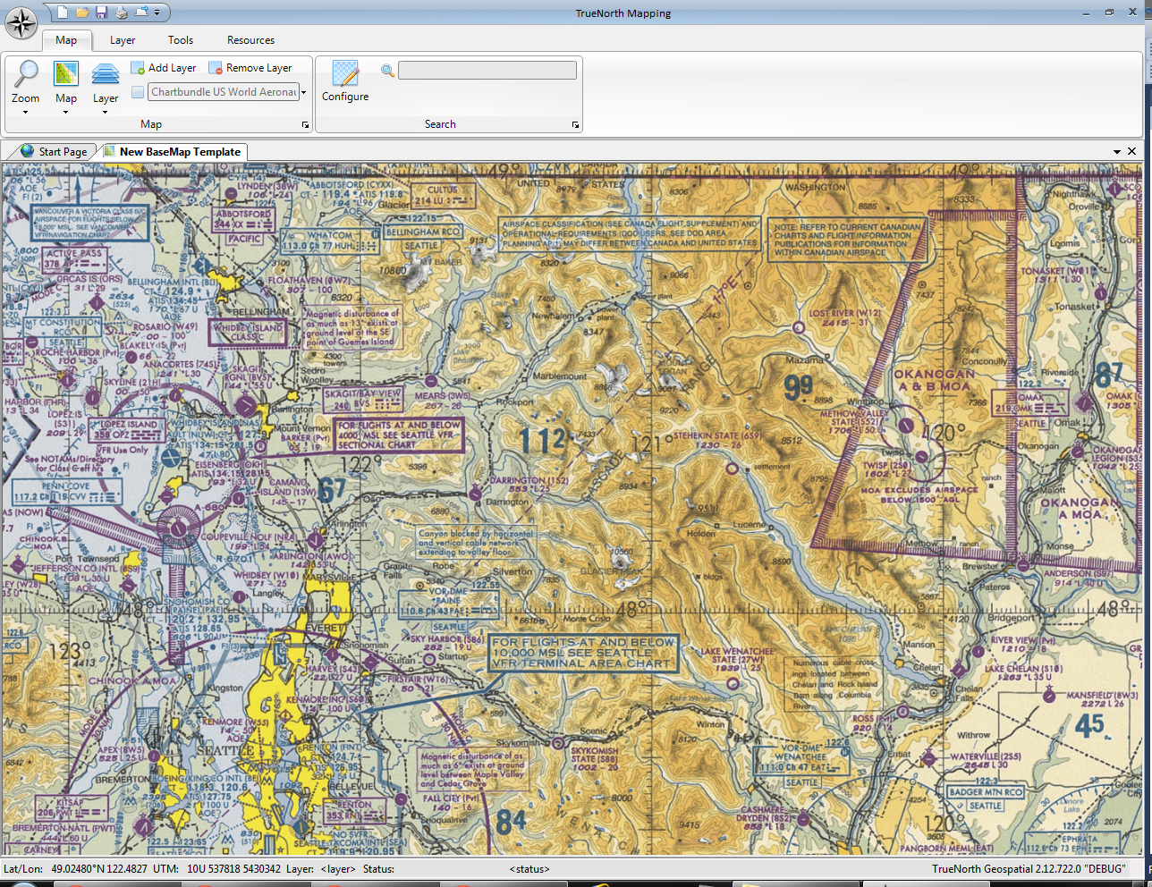
We know that not all maps are terrestrial, and not all users are backcountry users. An obvious extension of TrueNorth is into the aviation industry, and to that end we demonstrate the inclusion of aeronautical charts below.
The charts are provided as a Tile Map Service by Chartbundle.com