We are excited to announce that TrueNorth Geospatial is officially in beta!
Now, for those of you following along, we realize we haven’t invited anyone to download it yet, and for that we apologize.
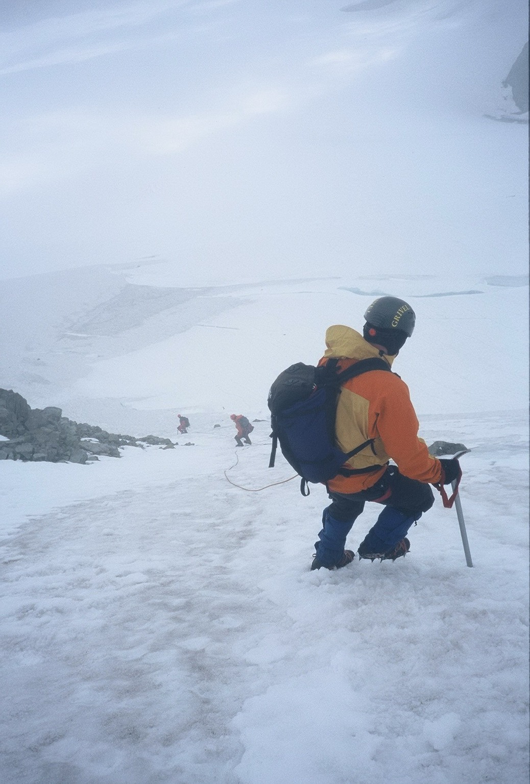
Our early beta testing consists of a field trial of software with one of the local Search and Rescue teams. BlueToque Software has an intimate relationship with Search and Rescue since the company’s founder and principle architect is a SAR Manager and avid outdoor enthusiast. In fact the software’s inception grew from his frustration with the lack of tools for backcountry professionals without advanced GIS training.
Over the next few months, TrueNorth will be undergoing extensive field trials with a busy SAR team with upwards of 35 calls a year, or just about one every week and a half. We’ll be attending every task, producing maps, importing GPS tracks, and generally putting the software through it’s paces and attempting to exercise every aspect of the design.
[framed_box rounded=”true”]We’d like to note that during testing, TrueNorth will not be the only system in place with this SAR team; TrueNorth will be used, where possible, in addition to and not instead of, their standard workflows. This is in case of catastrophic errors or issues. We certainly aren’t going to endanger public safety to test our software!
[/framed_box]
In fact, we’re happy to say that some initial tests in the past few weeks have resulted in some favorable comments from police and other SAR members… unfortunately, because these SAR tasks are ongoing police investigations we can’t share the maps with you.
At the same time we will be slowly introducing it to our outside testers. Initially, these will be other outdoor professionals and semi-professionals who already have a relationship with BlueToque, and a little later we will expand the testing pool to those who’ve expressed an interest in the software by signing up for the mailing list.
Our hope is, by putting the software through it’s paces with an internal field trial we can make the testing process a little easier on the external testers. If you’re interested in beta testing, be sure to sign up to the email list as we will be contacting people there.
Exciting times are ahead, spread the news and stay connected!
3 responses to “In Beta”
[…] today we announced that TrueNorth is officially in beta […]
[…] we posted last week, TrueNorth is in very active field trials, having been used on three recent Search and Rescue […]
[…] today we announced that TrueNorth is officially in beta […]