Nick got invited to a last minute paddling trip to Kenai Fjords National Park in Alaska.
As a responsible adventurer, he wanted to have a good map to take with him that included information about the park, where to camp, landmarks, and place names. He also wanted to take it on his Garmin GPSMap 62ST – a very capable, waterproof wilderness GPS with a colour screen and the capability to load third party raster maps.
It just so happens that the the US National Park service has created a GeoPDF map of Kenai Fjords National Park. We imported the GeoPDF into TrueNorth Geospatial to take a look

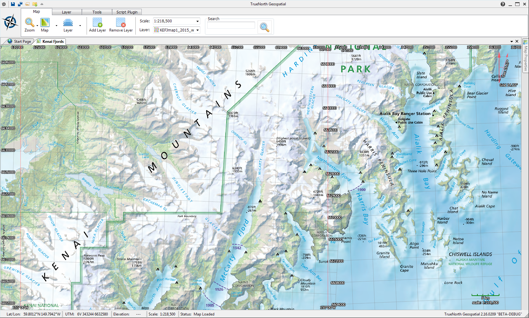
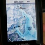
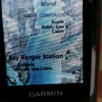
Once in TrueNorth, it was a simple matter to export the GeoPDF as a Garmin compatible Raster Map, and load it onto the GPS unit. Photos below (please excuse the photo quality – wilderness GPS units are “daylight readable” which means they’re lower resolution, so photographing them introduces a Moiré effect).
Now Nick has a durable, waterproof map on a device where his “AA” batteries will last a the whole week. Have fun paddling!
One response to “Case Study: Paddling in Kenai Fjords National Park”
Thanks Mike – I’ll send pics when I get back
Nick